Live warnings for possible natural disaster risk in Poway
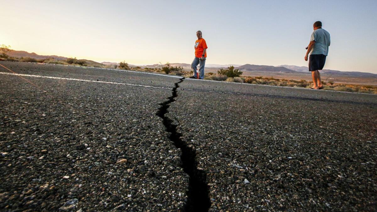
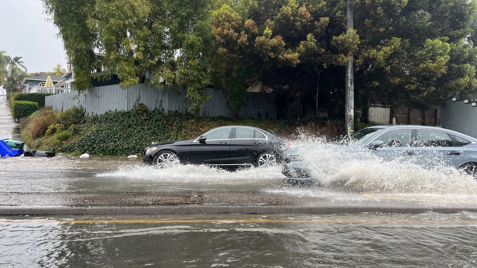
This section uses live environmental data from the risk API to estimate short-term wildfire, flood, and extreme heat danger. Scores are based on current conditions such as temperature, humidity, wind, rainfall, and heat index to help residents see when local risk may be rising.
What this means
Higher scores indicate a stronger likelihood that weather conditions could contribute to dangerous events. Use this as an early warning signal and review your preparedness plan when risk climbs.
Neighbors Helping Neighbors
We foster a grass roots network ensuring the most vulnerable are helped by those around them.
WORK CLOSELY WITH OUR CITY AND FIRST RESPONSE AGENCIES TO INFORM AND COORDINATE ALL POWAY NEIGHBORHOODS
ENCOURAGE NEIGHBORS TO PROVIDE FOR THEIR OWN NEEDS IN AN EMERGENCY
COVID-19 ASSISTANCE
If you are homebound and need help in picking up medications, groceries, or other essentials items
CALL 858-668-1250
If you have any general questions, or need financial assistance to pay rent, mortgage or utilities, call 2-1-1 or go to www.211sandiego.org
For additional information, go to poway.org
Poway Neighborhood Emergency Corps
powaynec@gmail.com
OUR PARTNERS
This site and many programs provided by the Poway Neighborhood Emergency Corps and Fire Safe Council have been funded by the California Department of Forestry and Fire Protection’s Fire Prevention Program as part of the California Climate Investments Program.